MAPS
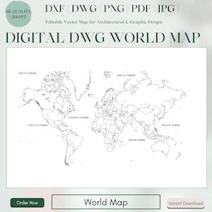
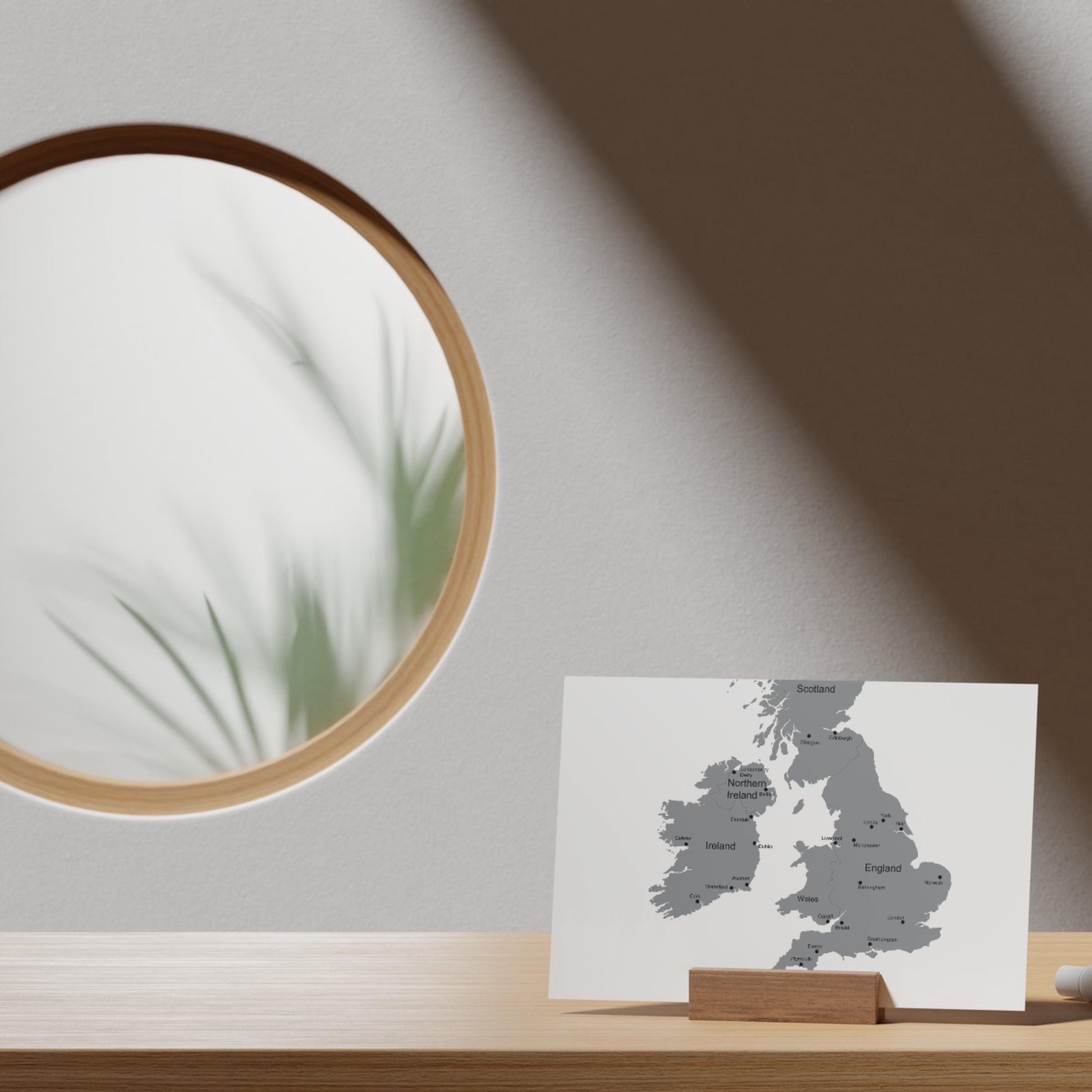
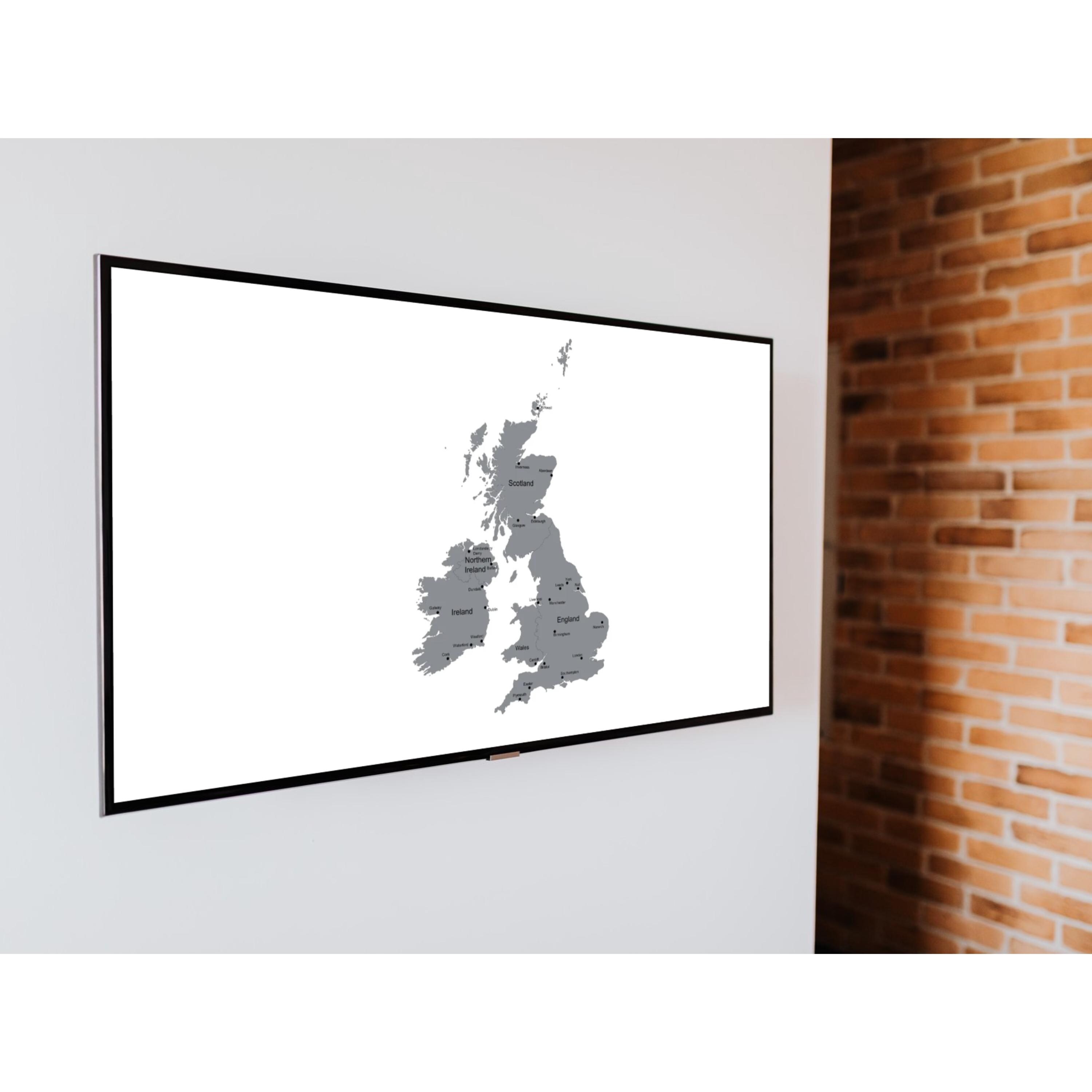
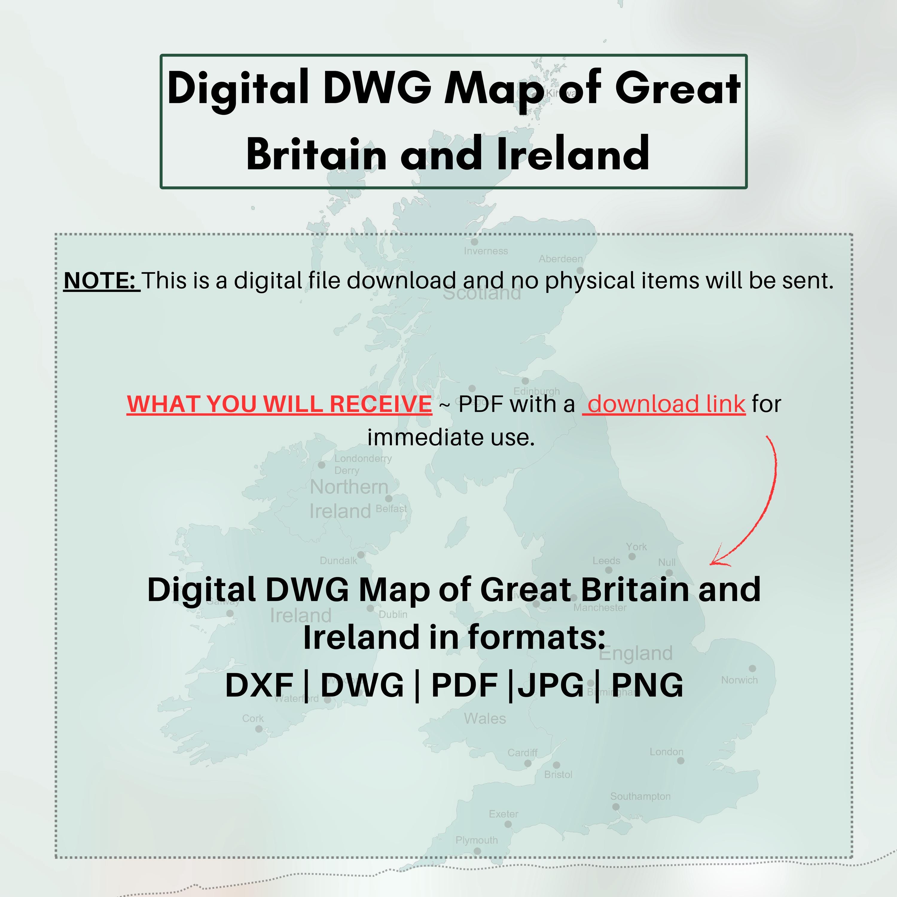
Digital DWG Map of Great Britain and Ireland | dxf, dwg, png, pdf, jpg | Editable Map for Architectural & Graphic Design - Laser Cutting
$3.81 $5.44
-
DetailsDescription:
Unlock the possibilities for your next project with our comprehensive digital map of Great Britain and Ireland, designed for precision and versatility. This professional bundle includes detailed vector files in DWG, DXF, PNG, PDF, and JPG formats, making it perfect for architects, designers, engineers, and anyone seeking a high-resolution map for CAD applications, laser cutting, engraving, or digital design.
Our map files are crafted to provide accurate and scalable details, allowing you to edit, customize, and integrate them into various projects without compromising quality. Each format offers unique advantages, from CAD-ready DWG and DXF files to high-resolution images in PNG and JPG, all structured to enhance your workflow efficiency. Whether you’re working on a historical research project, urban planning, or creating custom map artwork, this digital set delivers all the essentials for a professional finish.
Key Features:
High-Quality Vector Files:
This set includes precise vector files in DWG and DXF formats, ideal for CAD projects and laser cutting applications.
Multiple Formats for Versatile Use: You receive PNG, PDF, and JPG files, allowing for easy use across design software, printable projects, and visual presentations.
Professional & Detailed Design:
Every detail of Great Britain and Ireland is meticulously represented, perfect for technical projects, design portfolios, and educational uses.
Instant Digital Download: Access your files immediately upon purchase and integrate them seamlessly into your projects without delay.
Why Choose Our Map?
Designed to meet the highest standards, this map of Great Britain and Ireland is suitable for both commercial and personal use. The files provide flexibility and compatibility across various software, allowing you to work on intricate designs and layouts effortlessly. From landscape architecture to educational resources, this digital map set is a valuable addition to your toolkit.
Included in This Bundle:
DWG & DXF Files: Editable CAD files compatible with AutoCAD and other CAD software, ideal for accurate design and modifications.
PNG, PDF & JPG Files: High-resolution image files perfect for print, presentations, and design inspiration.
Elevate your projects with a premium digital map that’s versatile, accessible, and tailored for professional use. Download this set today and bring the stunning geography of Great Britain and Ireland to life in your designs! -
Shipping & Policies
Digital downloads
File delivery
Your files will be available to download once payment is confirmed.
Payment Options
Returns & Exchanges
I don't accept returns, exchanges, or cancellations
But please contact me if you have any problems with your order.
Related Products